Hello everyone,
I hope you are all keeping well and staying safe 
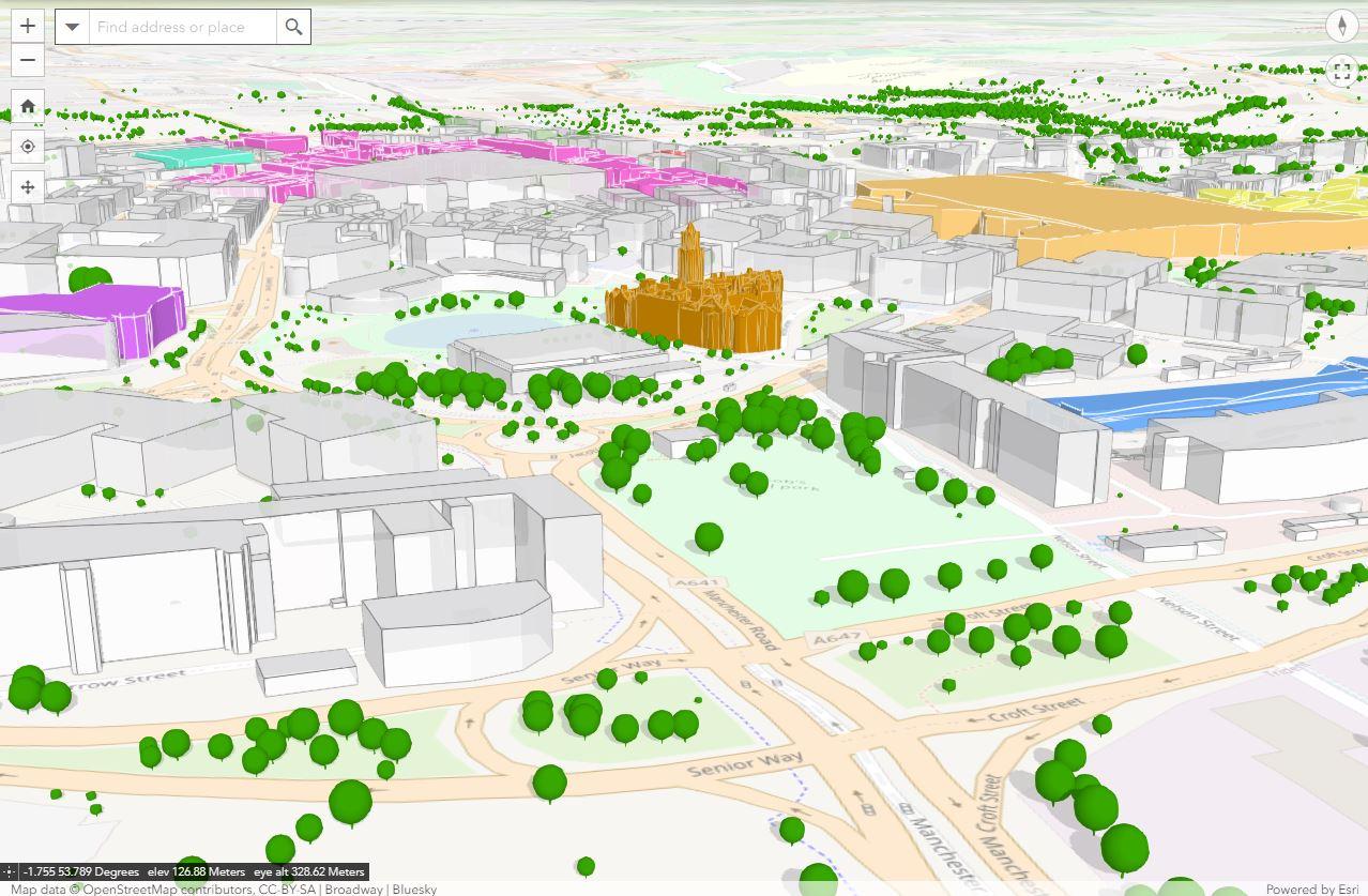
After the virtual Hamburg meeting I was really enthused (thank you Hamburg  ) and I wanted to see what I could create for Bradford municipality. Since then I’ve spent quite a lot of time creating a model (image below).
The model is quite extensive but I’ve just clipped a section here. I hope to share the interactive version with you once I’ve purchased the trees dataset that I’ve used to make the model look a bit more realistic 
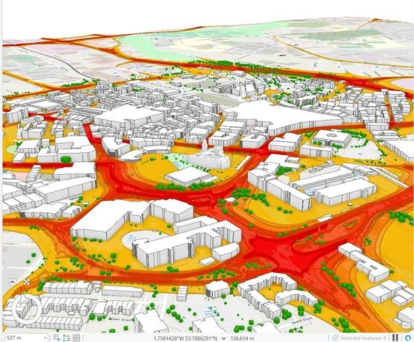
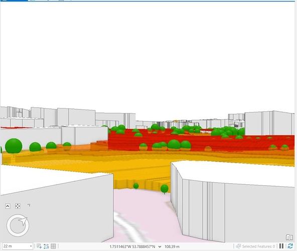
I’ve also gone on to investigate how we could potentially visualise Air Quality in 3D. Its a bit rough and ready and needs some thought but my 1st impressions is that it has some value. Again I would like to share this with you interactively once I have permission. Any feedback would be really appreciated.
So I have a question, well actually I want to have a discussion  . With the help of @phezoj and @sydsimpson we have created this 3D model at no cost. Well when I say at no cost, the building footprints, their heights and the ground model are from the national mapping agency agreement; which the municipality can use at no cost. The trees dataset will be approx. £1,800 (but the trees dataset will be used throughout the municipality for many purposes). But lets be clear all this data is then copyrighted and cannot be shared as open data.
So lets say “for the sake of argument” that there is a nill cost and the municipality can use the 3D model wherever it likes so long as its for municipality purposes.
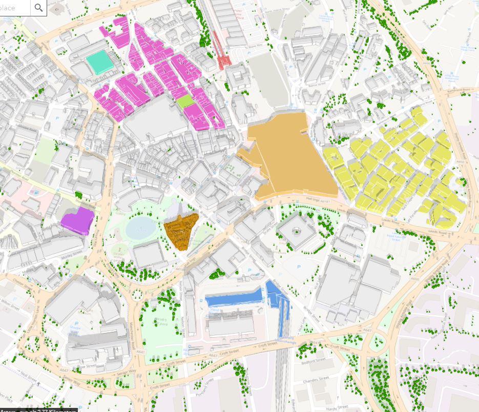
For the same area as in the image below we would have to pay (I’m just working with the University of Bradford on a specification and a quote) to create a model as open data. I’m not sure what the actual cost will be but for the Gothenburg project mentioned above, SEK 100 million is an eye watering £8 million (presuming I have understood correctly).
So the question/debate - How do we justify the investment? Particularly in the times of austerity?


 . It would be great to get an update and I have another question. Are you using any open source software to ‘convert’ point cloud data to a mesh? What success are you having if you are using open source?
 .
.

 please keep us informed perhaps we could also propose some city to city learning.

 Looks good


