A partial archive of https://score.community/ as of Monday March 04, 2024.

Video/Image based sensors (i.e. Gully Sensors)

dhaval

This will be focused on using Machine Learning techniques to build a classifier that uses images (/from Video) to sense observations. The first prototype will be on Gullies - using cameras to observe gullies to discover if they are blocked or not.

The same/similar techniques can be applied to other use cases, for example, for reading an analogue gauge on the river to check its level (from the photos sent by Citizens).

sydsimpson

@dhaval, needless to say Bradford Council are very interested in this, both for highway drainage but also could be extremely useful for our NFM projects.

Vbyrne

@dhaval interested in seeing how these can be adapted and safely placed within the public environment .

sydsimpson

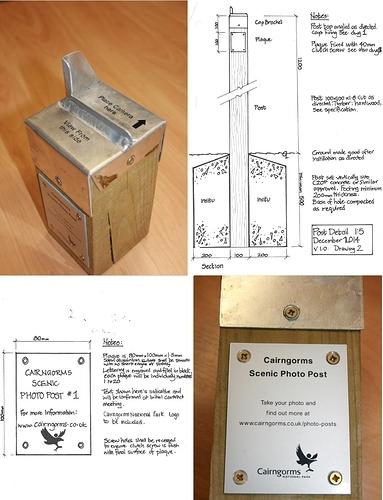
@Vbyrne A subject Bradford is interested in and related to this - at least perhaps from the image recognition perspective is fixed point photography.
We have recently received details of a project in the Cairngorms which we might try to replicate for our NFM projects.
Maybe you know something about it?

Vbyrne

Hi @sydsimpson, I am aware of their presence but I have no contacts at the Cairngorms National park. Aberdeenshire Council are in greater contact with the Cairngorm National Park Authority over planning related issues. National Parks offices for the Cairngorms that I know of are on Station road, Ballater.

h.niesing

Hello @dhaval,

Can you fill in the Solution fact sheet?

It is very little work and you can find it here:

Greetings,

Hugo

h.niesing

Of course together with @sydsimpson and @Vbyrne from Aberdeen !

Thanks

Greetings, Hugo

dhaval

dear @h.niesing
I can, but this solution was not selected to go ahead in this round, shall we still fill in this?
Thanks
Dhaval

claus

@dhaval would this machine learning to detect blocked gullies be similar to the work @Inske and @srudinac are doing on machine learning to detect urban decay? Any methodologies or expertise that could be exchanged on this?

sydsimpson

@claus / @dhaval,

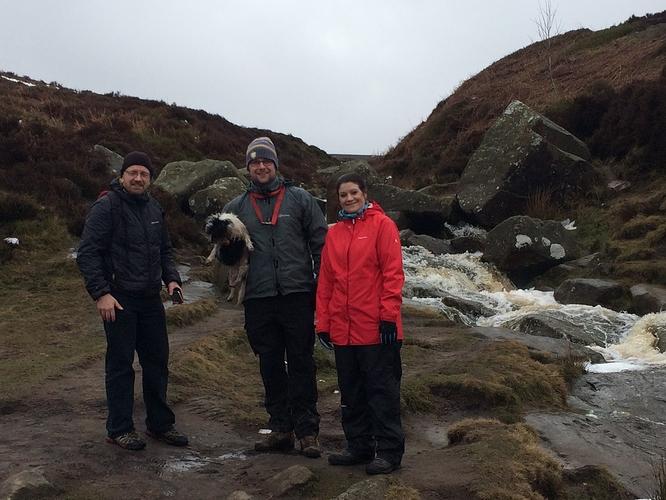
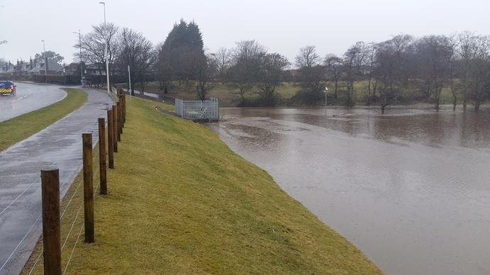
Also of interest, and a potential spin-off might be the monitoring of watercourses where flow is too turbulent to be able to measure a level
i.e. how do we know when this watercourse is in spate?

The use of a camera rather than a dedicated water level sensor could provide a level (quantitative) and an image (qualitative).
I’m thinking in this case especially for blockages at trash / debris screens.

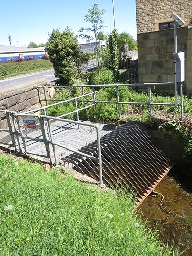
Below is a photo of a typical trash screen which is monitored by a (dumb) camera - shown on the right of the photo. Any blockage or flooding at this location is only noticed by a specific inspection of the image.
An automatic alert would be so much better! :slightly_smiling_face:

Vbyrne

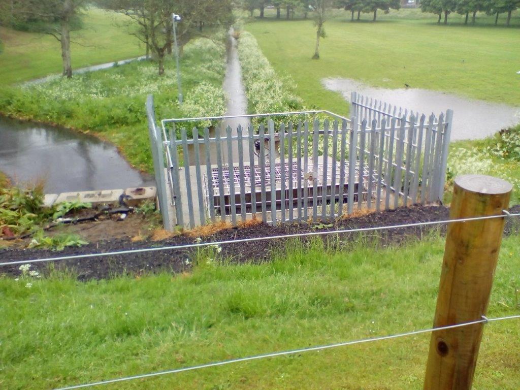
@sydsimpson, we have a similar Debris Screen with dumb camera at Stronsay Park, Denburn site which has a dumb camera too.


We intend to install a level sensor here too. The potential trigger notification threshold from a level sensor in tandem the visual viewing of live conditions will be beneficial to our maintenance team, decision making process. There is potential to coincide cameras at key high flood risk Debris Screens (Hakes as they’re called here :wink:)

srudinac

Dear Claus,

At the moment two of my students are working on e.g. garbage detection in the user-generated images. The images are somewhat different from the examples below and they usually contain street scenery and garbage bins, together with various type of garbage: bags, cardboard, wood, metal, glass etc.

In general, provided sufficient training examples (e.g. annotated images with and without trash), their approaches could be scalable. I will discuss it with them later on this week.

One of our MSc students is also working on an active learning framework for quick “user in the loop” object detection, localization and segmentation. However, this one will probably be ready only in August or September.

In any case, I will keep you posted about the developments.

Best regards,
Stevan

sydsimpson

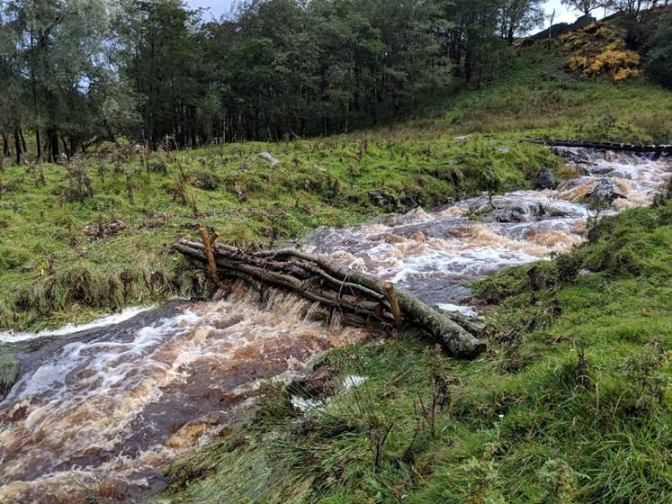
In addition to trash screens / hakes, there is a real need to monitor the performance of ‘leaky dams’ which Bradford are constructing for our natural flood risk management projects (NFM) - sometimes using traditional but very effective measures such as at Harden Moor :racehorse: :open_mouth:

Image recognition / analysis could be very useful here to measure depth and extents of water.